A note on book covers: while we do our best to ensure the accuracy of cover images, ISBNs may at times be reused for different editions of the same title which may hence appear as a different cover.
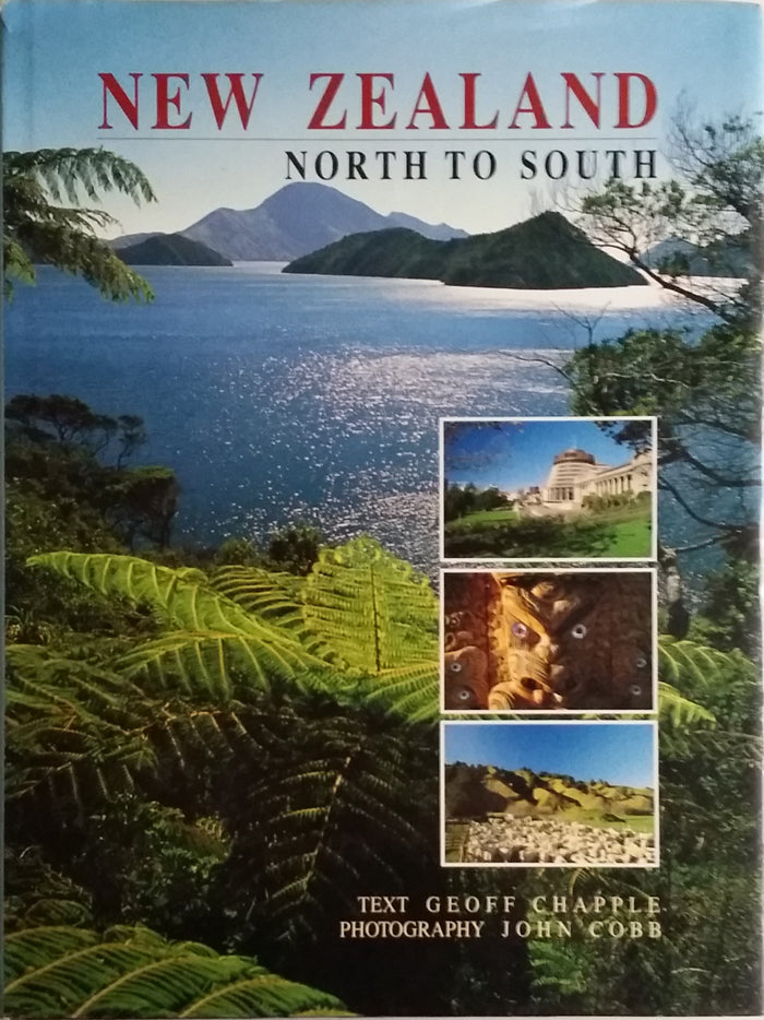
This book contains photographs, maps, and information about North Island, South Island, and Stewart Island. 18 areas are Northland, Auckland, Waikato, Taranaki, Coromandel, Bay of Plenty, Central Plateau, East Cape, Hawke's Bay, Wellington, Wairarapa, Manawatu, Marlborough (Kaikoura), Canterbury, Otago, Southland, Fiordland, Mount Cook and the Lakes, West Coast, and Nelson.
A note on book covers: while we do our best to ensure the accuracy of cover images, ISBNs may at times be reused for different editions of the same title which may hence appear as a different cover.
A visual journey through New Zealand's diverse landscapes.
Who is this book for?
If you're dreaming of New Zealand's breathtaking scenery, this book is a treat. It offers stunning photographs paired with informative maps that bring the islands to life, perfect for travelers or anyone who loves exploring new places through imagery. Fans of travel photography will find this an inspiring addition to their collection.